Study the charts
Now is a good time to start planning for the boating season ahead, and a top priority in planning a trip should be studying the charts. No GPS can provide the confidence that comes with being a capable navigator.
Paper first, GPS second
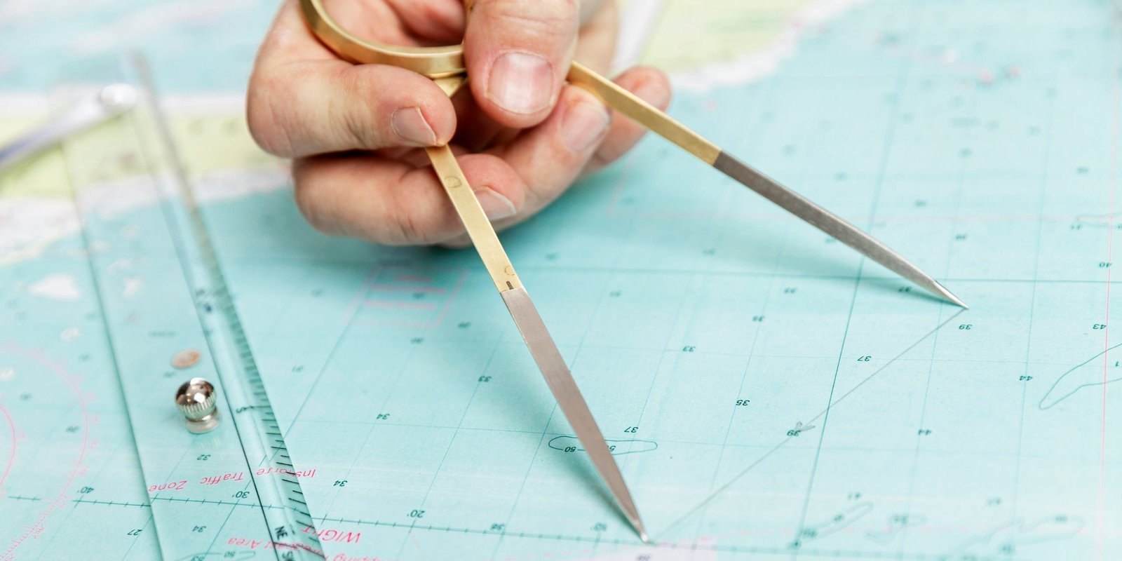
As much as we like to rely on our wonderful GPS chart plotters, a wise navigator does the work first on paper charts and then transfers that information to the GPS. Aside from the obvious greater detail that paper charts provide, the process of transcribing the information into the GPS provides a second opportunity to make sure the bearings and details are correct and nothing has been overlooked.
Look at your charts with fresh eyes
Even with areas we know well on the water and charts we have used many times, looking at a chart as though you’d never seen it before is an excellent way to find detail that might have been previously overlooked. There’s always something new to discover.
Keep your charts up to date
Our waterways are in a constant state of change, making old information dangerous. You can download up-to-date charts from NOAA. It’s a good idea to compare those online versions to your own charts, as NOAA regularly updates changes to depths and navigational aids.
Check for real-time updates
If you do an Internet search for “Coast Guard Advisories,” you will find a treasure trove of the latest information about conditions on the water. If you take a minute to check advisories before leaving on a trip, you will have another important source of knowledge to make your navigation all the more professional and safe. –Daniel Fannon

Reach your destination safely
Avoid obstacles and get where you want to go on the water. Get the skills you need with Marine Navigation from America’s Boating Club.